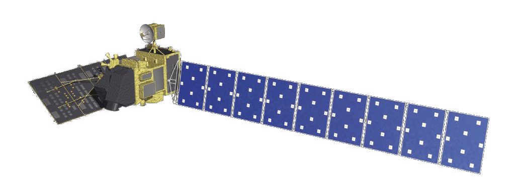
Advanced Land Observing Satellite "DAICHI" (ALOS)
The ALOS is one of Earth observation satellites, aimed at obtaining data useful for topography and land use.
It was launched aboard the H-IIA launch vehicle on January 24,2006.
Since its launch, DAICHI's observation data has been used in various areas including disaster mitigation through observing regions damaged by earthquakes, tsunami, or typhoons, as well as carrying out forest monitoring,natural environment maintenance, agriculture, and compiling a 1/25,000 topographical map.
